
GIS Survey Possibilities using Drones in India
- Rakesh Rai

- Mar 4, 2023
- 3 min read

Drones have become an increasingly popular tool in surveys and mapping in recent years, and India is no exception. From land surveys to infrastructure inspections, drones have proven to be a cost-effective and efficient solution for a wide range of applications.
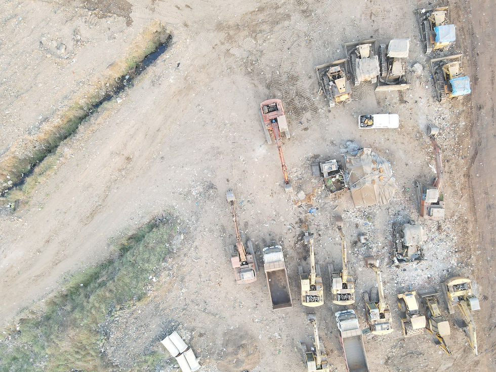
One of the major advantages of using drones for surveys is that they can capture high-resolution images and videos from a bird's-eye view, which can provide much more detailed and accurate data than traditional ground-based methods. This makes them ideal for surveying large areas or inaccessible terrain.
One of the latest projects in India that has utilized drones for surveying is the Smart Cities Mission. The mission aims to develop 100 smart cities across the country by 2023, and drones have been used to conduct surveys and create 3D models of the cities. This has helped to identify potential problem areas and plan for better infrastructure and services.
The Smart Cities Mission in India is a government initiative aimed at developing 100 smart cities across the country by 2023. Drones are being used as a tool to achieve this goal by conducting surveys and creating 3D models of the cities. Here's how drones can help in the development of smart cities in India:
Conducting surveys: Drones can be used to conduct surveys of the cities to gather data on land use, infrastructure, and population density. The data collected by drones can be used to identify potential problem areas and plan for better infrastructure and services.
Creating 3D models: Drones can capture high-resolution images and videos from a bird's-eye view, which can be used to create 3D models of the cities. These models can help in the planning and design of new infrastructure, such as roads, buildings, and parks.
Monitoring construction: Drones can be used to monitor construction projects in real-time, which can help to identify any potential delays or issues. This can help to ensure that projects are completed on time and within budget.
Infrastructure inspections: Drones can be used to inspect infrastructure, such as bridges and roads, to identify potential safety hazards or maintenance issues. This can help to ensure that the infrastructure is in good condition and safe for public use.
Disaster management: Drones can be used to survey affected areas after a natural disaster, such as floods or earthquakes. This can help emergency responders to prioritize rescue efforts and allocate resources more effectively.
Overall, drones can be a valuable tool in the development of smart cities in India. By providing high-resolution data and real-time monitoring, drones can help to identify potential problems and ensure that projects are completed on time and within budget. This can lead to the development of more efficient and sustainable cities, which can improve the quality of life for residents.
Drones have also been used in agriculture surveys in India. For instance, the Maharashtra government is using drones to survey crops to assess crop damage caused by pests, diseases, and natural disasters. The drones capture images of crops that are then analyzed using artificial intelligence (AI) algorithms to detect any anomalies or problems. This allows farmers to take corrective measures to improve crop yield and reduce losses.
In addition to land surveys, drones have also been used for infrastructure inspections in India. For example, the Indian Railways has started using drones to inspect railway tracks and infrastructure. This has helped to identify potential safety hazards and track defects that may not be visible to the human eye.
Another application of drones in India is disaster management. In the aftermath of floods, earthquakes, or other natural disasters, drones can be used to survey affected areas and assess damage. This can help emergency responders to prioritize rescue efforts and allocate resources more effectively.
Overall, drones have proven to be a valuable tool for surveys and mapping in India. They offer a cost-effective and efficient solution for a wide range of applications, from land surveys and agriculture to infrastructure inspections and disaster management. As technology continues to improve, we can expect to see even more innovative uses of drones in the future.
Comments